Commercial Drone Operations & Surveys
Providing data with millimetre accuracy to ensure high quality information for decision makers

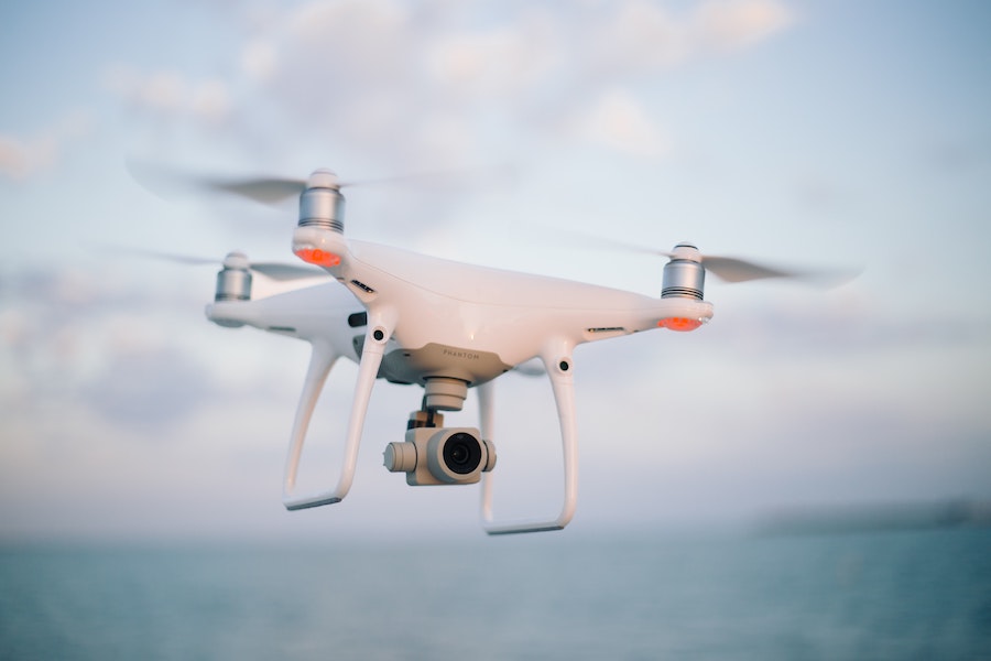
Remotely Piloted Aircraft Systems (RPAS), commonly known as drones, has become an essential tool for collecting Earth Observation data. Our team of qualified, Civil Aviation Authority registered commercial drone pilots are able to provide data with millimetre accuracy, over land and sea, to provide high quality information for decision makers.
Thanks to their low altitudes, drones can collect very high resolution for different purposes such as water quality monitoring, habitat mapping, plastic detection or product validation including modelling or satellite algorithms. Our range of drone mounted sensors include high resolution RGB cameras, multi- and hyper-spectral cameras with near infrared capabilities, and LiDAR instruments. Using these instruments, we are able to produce geometrically and radiometrically corrected stitched imagery over large areas to deliver a detailed 3-dimensional representation of the survey site. Using these data, we provide valuable information such as change detection over time to demonstrate volumetric or land classification change, vegetation health in an agricultural setting (NDVI), water quality measurements, or detection of harmful algal blooms.
Example Projects
- Monitoring sediment levels at Sharpham Marsh of the River Dart
- Working with the Environment Agency to quantify biomass changes in an intentionally flooded riverside meadow to reduce flood risk and to create a reed bed habitat at Calstock on the Tamar River
- Supporting South West Water with water quality monitoring at St. John’s Lake, Cornwall
- Combining imagery acquired by drone mounted sensors with machine learning to quantify invasive Pacific Oysters on the Kingsbridge Estuary.