CORDIAL
A collaborative space for learning and innovation


Harness the full potential of Earth observation data
Recent advancements in Earth observation (EO) data from satellites have significantly improved coverage and resolution, offering tremendous opportunities for businesses and organisations. However, the growing volume of EO data presents challenges related to computing infrastructure, costs, and required expertise. Traditional methods of downloading and storing individual scenes for analysis have become impractical due to the sheer size of the data.
CORDIAL is an advanced, versatile data repository and data analysis platform designed to transform how organisations handle and interpret Earth observation (EO) data. Equipped with a comprehensive suite of tools, CORDIAL enables users to efficiently find, extract, analyse, and visualise vast amounts of data, turning raw information into actionable insights. Supporting organisations to move beyond merely accessing data to extracting meaningful, actionable information that can drive growth, verify investments, and facilitate future planning.
CORDIAL addresses these challenges by operating in a cloud environment, offering two key advantages:
- No Massive Data Downloads: Analysis can begin immediately without the need for extensive data downloads.
- No Capital Investment in Hardware: Eliminates the need for costly computing hardware investments
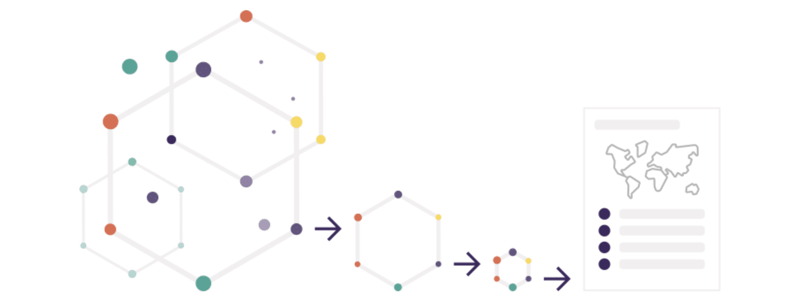
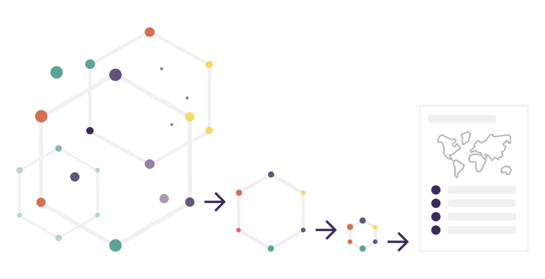
Users can search the extensive CORDIAL catalogue for relevant EO data, which may extend to petabytes. By narrowing down their selection to the geographic area of interest, the analysis can reduce the data size to several gigabytes or even just a few hundred kilobytes of actionable information.
Beyond its data capabilities, CORDIAL fosters a collaborative learning environment. Users gain access to some of the world’s leading marine scientists at PML and a global network of subject matter experts encompassing the terrestrial and atmospheric domains. Whether your goal is to drive business growth, ensure environmental compliance, or support sustainable development, CORDIAL connects you with the expertise needed to answer your most pressing questions.
CORDIAL Components

Data Catalogue
A comprehensive catalogue aggregating multiple data sources with a powerful search

Data Cube & API
Fast, well-documented data access endpoint to extract the data you need for analysis

Data Ingester
Bring your own data – secure upload and storage for your sensitive or commercial data

Data Explorer
A spatial and temporal visualisation tool to ensure data suitability prior to detailed analysis

Jupyter Hub
Pre-configured online development environment to develop your own analyses, reports, plots, maps and more

Learning Hub
Offers extensive training materials, how-to guides, code snippets, and support from EO experts and software engineers

Function Library
Build using a comprehensive library of common functions for statistical analysis, identifying trends, quantifying change, plotting data, creating reports

Algorithm Library
Rapidly deploy a pre-configured algorithm from an extensive library covering marine and terrestrial applications

Report Generator
Extract information in CSV, Excel, image formats or print-ready PDFs – produce custom automated reports in a format ready for publication

Change Detector & Alerts
Be alerted to new data as they become available or changes based on user-defined thresholds

Real-time collaboration
Work with colleagues in real-time to develop analysis tools or to review results

Secure Access
Users are authenticated with Single Sign-on using SAML from Microsoft with multi-factor authentication
Why Choose CORDIAL?
- Efficiency and Speed: Avoid the impracticality of traditional methods by leveraging CORDIAL’s cloud-based architecture, which allows for immediate data analysis without large downloads.
- Expert Support: Benefit from access to leading marine scientists at PML and a global network of subject matter experts
- Actionable Insights: Transition from merely accessing data to extracting meaningful, actionable information that can drive growth, verify investments, and facilitate future planning
Sectors
The scalability and flexibility of CORDIAL, plus the range of EO data available, makes it a powerful tool applicable to multiple sectors.

Financial Services
- Market Analysis and Predictions: Satellite data is used to predict market trends by monitoring activities such as shipping traffic, factory output, and retail activity. For example, the number of cars in retail parking lots can indicate consumer spending trends.
- Hedge Funds and Investment Firms: These entities leverage satellite data to gain an edge in market analysis, using non-traditional data sources to inform trading strategies and investment decisions.
- Green Bonds and Sustainable Investments: Data on environmental conditions and changes is crucial for the issuance and management of green bonds, ensuring that funded projects meet environmental standards.
- Crop Yield Estimation: Satellite imagery helps estimate crop yields by monitoring vegetation health, soil moisture, and weather conditions. This information is crucial for commodity traders, agricultural investors, and insurance companies.
- ESG (Environmental, Social, and Governance) Investing: Satellite data supports ESG investment strategies by providing transparency and accountability in environmental monitoring. Investors can track deforestation, pollution levels, and other environmental impacts of companies and projects.
Insurance & Re-Insurance
- Climate Change Impact: Investors and insurers assess the impact of climate change on assets and investments. Satellite data helps evaluate risks related to rising sea levels, extreme weather events, and long-term climate trends.
- Natural Disaster Analysis: Real-time satellite imagery is used to assess the damage from natural disasters such as hurricanes, floods, and wildfires. This information aids in the swift evaluation of insurance claims and disaster recovery planning.
- Underwriting: Insurers use satellite data to assess risk more accurately for properties and assets, incorporating data on weather patterns, flood zones, and fire-prone areas.
- Claims Verification: Post-disaster satellite imagery helps insurers verify claims by providing an accurate and timely assessment of damages.
- Environmental Compliance: Companies use satellite imagery to ensure compliance with environmental regulations and to monitor the environmental impact of their operations.
Local & National Government
- Water Resource Management: Earth observation data helps in managing water resources by monitoring water bodies, assessing water quality, and tracking changes in water availability.
- Air Quality Monitoring: Satellite data provides information on air pollution levels, enabling authorities to monitor and manage air quality, and to take action to reduce pollution.
- Forest Monitoring: Satellite imagery is used to monitor forest cover, track deforestation, and manage forest resources sustainably.
- Regulatory Compliance: Governments use satellite data to monitor compliance with environmental regulations, such as emissions limits, protected areas, and pollution controls.
- Habitat Monitoring: Satellite data supports the monitoring of wildlife habitats, enabling conservation efforts to protect endangered species and manage natural reserves.
- Biodiversity Assessment: Governments use satellite data to assess and monitor biodiversity, track changes in ecosystems, and develop conservation strategies.
- Climate Action: Satellite imagery provides evidence for climate action plans, helping governments to set targets and measure progress in reducing carbon footprints.