Centre for Geospatial Applications
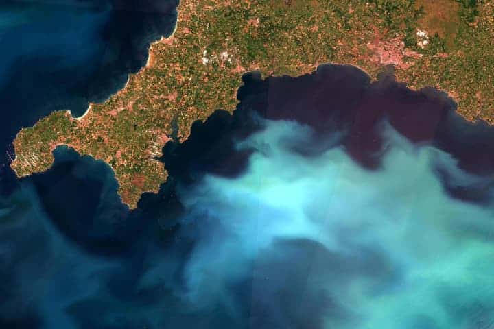
Satellites provide comprehensive large spatial scale observations of the Earth’s surface
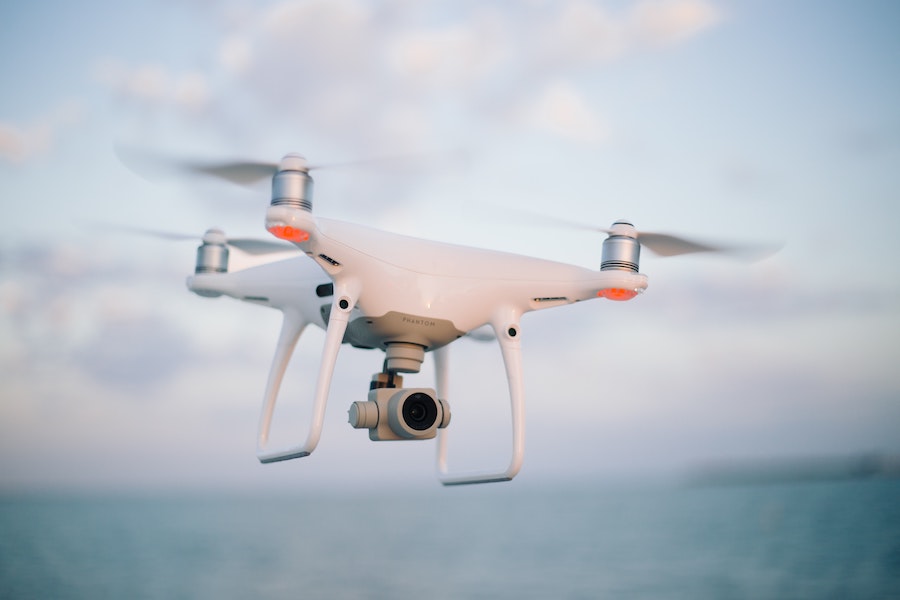
The Centre for Geospatial Applications’ (CGA) team of remote sensing experts provides data products and services which deliver vital information for companies in a variety of sectors. Aircrafts and drones are providing detailed views, complementing in situ and shipboard measurements.
Covering both terrestrial and marine applications, we provide data covering small areas at centimetre resolution, regional products at hundreds of metres resolution, through to global datasets at kilometre scale resolution.
The application of algorithms and techniques to data from optical and radar sensors mounted on drones, aircraft and satellites provides a broad range of Earth observation intelligence used to support:
- Industrial operations such as for shipping (including i.e. fouling risks projections), oil spill detection and coastal power plants, e.g. monitoring jellyfish blooms and drifting seaweed concentrations
- Food security through fisheries and aquaculture, e.g. the impact of harmful algal blooms and monitoring illegal, unlicensed and unreported fishing
- Water quality, e.g. eutrophication, harmful algal blooms, identification of floating debris including marine plastics
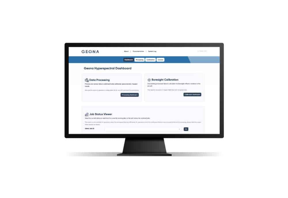
Near real time and delayed time satellite data are available as well as access to long term time-series data. Technical support is provided, with a 24/7 option available. A comprehensive open source web-based Geographic Information System (GIS) tool has been developed by the team and is available for visualisation and analysis of geospatial data.
The CGA is closely aligned with the Plymouth Marine Laboratory Earth Observation experts, globally acknowledged as being at the forefront of developing and refining techniques, improving accuracy of the information that can be gained from satellites, aircraft and drones.
Training courses by our experts on using satellite data for ocean observation are available for a range of audiences. CGA is working with the intergovernmental European Organisation for the Exploitation of Meteorological Satellites (EUMETSAT) to provide training on using satellite-based ocean observation Sentinel-3 data from Copernicus, a European system for monitoring the Earth using satellites and in situ sensors.